N305L Mooney M20K Camarillo California 10 JUN 2022
1 Fatal
Pilot Flight Time: 2459.3 hours (Total, all aircraft), 1500 hours (Total, this make and model)
The pilot had flown from his home base of Phoenix Deer Valley Airport (DVT), Phoenix, Arizona, to Camarillo Airport (CMA), Camarillo, California, on the day before the accident, and the accident flight was to be the return trip. The pilot’s wife stated that he called her at 0600 on the day of the accident to tell her that he would delay the departure because of cloudy weather.
About 0724 the pilot contacted Leidos Flight Service and requested an abbreviated weather briefing. The briefer stated that a marine layer was present in Camarillo, and the pilot responded that it was “socked in.” The pilot requested cloud top information and was provided with a pilot report (PIREP) that indicated 700-ft cloud tops along the coast about 40 miles to the southeast at Los Angeles International Airport, Los Angeles, California, in the adjoining Los Angeles Basin. The pilot responded, “there you go.” After receiving information on a local temporary flight restriction, the pilot asked how he should file a VFR-on-top flight plan with the briefer. The briefer stated that he would need to file an IFR flight plan with a VFR-on-top clearance and that they could do it immediately. The weather at the time included calm wind, a visibility of 4 miles, a 300-ft agl overcast ceiling, and mist.
After the flight was plan filed, the pilot contacted the CMA tower controller. The controller provided the pilot with an IFR clearance to DVT with instructions to turn right to 275° after departure for radar vectors, climb and maintain 3,000 ft, and expect 7,000 ft 5 minutes after departure. The pilot replied but omitted the initial 3,000-ft altitude instruction, which was corrected by the controller. About 8 minutes later, the pilot stated that he was ready to taxi the airplane and was given instructions to taxi to runway 26 via taxiways F and A. During the next few minutes, the pilot began to taxi the airplane but appeared to be using taxiway G. The pilot then told the controller that he had not previously departed from CMA, and the controller provided the pilot with amended taxi instructions to the runway 26 run-up area.
About 0758, the airplane was cleared for takeoff; about 90 seconds later, the pilot was instructed to contact the departure controller. The pilot acknowledged the instruction but did not contact the departure controller. About 1 minute later, a controller from the Southern California Terminal Radar Approach Control called the CMA tower controller and reported that the pilot had not made contact and that the airplane did not appear on radar.
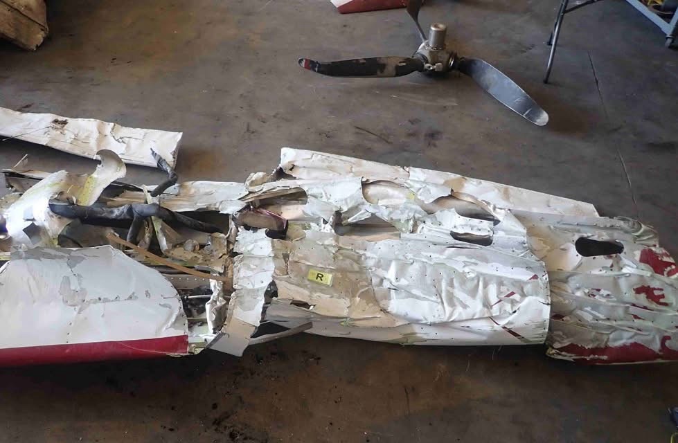
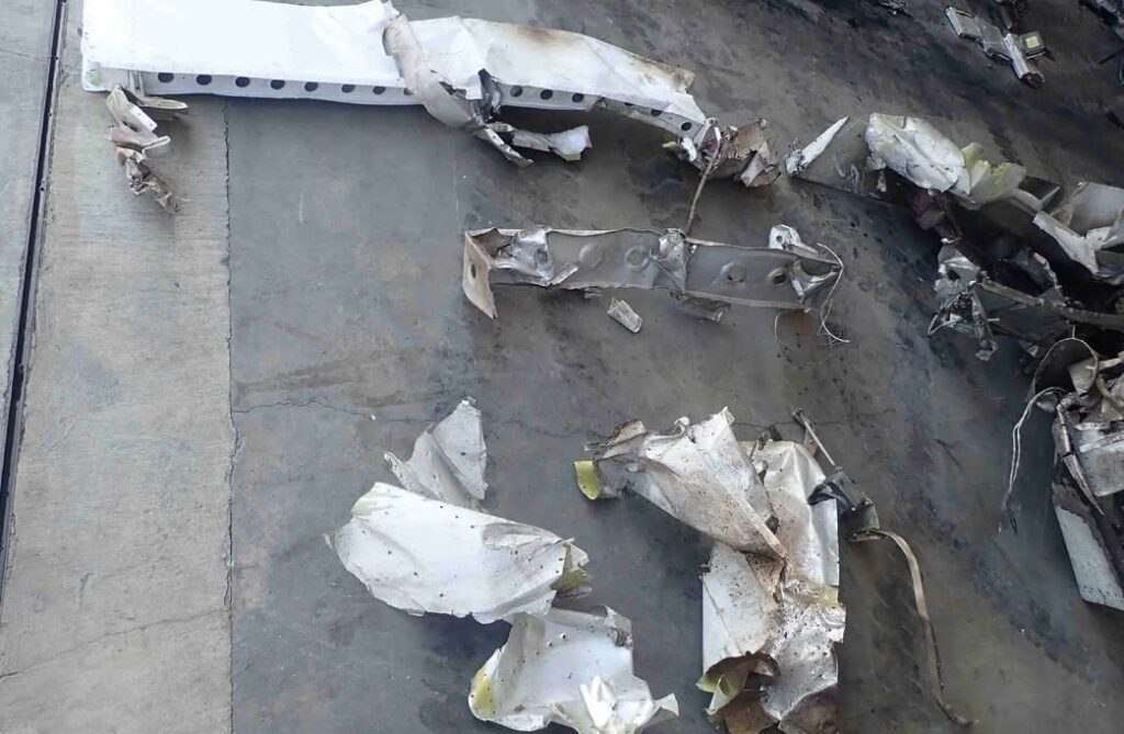
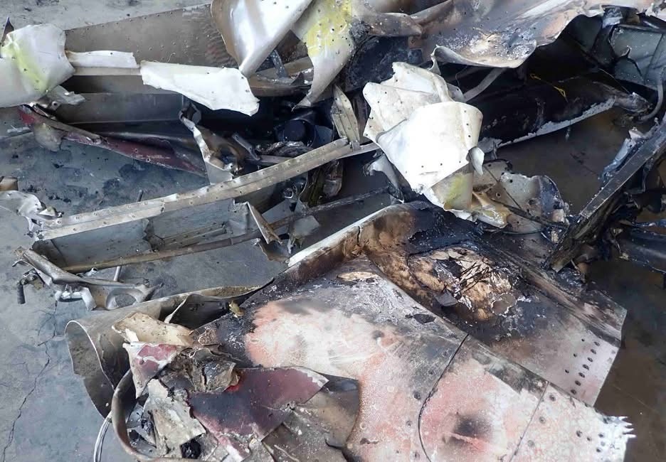
A witness driving along Route 101, a freeway located parallel to and about 0.5 miles north of the departure runway, reported seeing a low flying airplane traveling at a high speed from south to north. The witness stated that the airplane did not appear to have any trailing smoke or vapors and that he could hear the engine operating. The airplane was in a 90° right bank with its belly in view. The airplane then collided with the ground just past the freeway, and a postcrash fire ensued. A video from another witness’ dashboard-mounted camera captured the flames and the low clouds and fog enveloping the area.
Probable Cause and Findings:
Spatial disorientation and loss of airplane control after entering instrument meteorological conditions shortly after takeoff.